Wednesday, July 30, 2014

Sault Ste. Marie, Michigan

DSC_0777


We got packed up early on Friday morning so we could bet to the dump station before the rush – there were a lot of people leaving (or at least changing sites) on Friday!

We travelled east on M-28 for 100 miles and then north on I-75 for about 10 more miles.

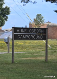
The drive through downtown was a little tricky . . . we probably should have followed the posted truck route, rather than Google’s directions . . . but we arrived at the city park, Aune Osborn Campground, without any trouble.

The campground is located right on the St. Mary River, south of the Soo Locks . . . a great location for watching freighters travel down the river from the locks. 

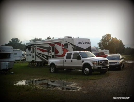
We got settled on our site,

Site 35

which was just across the road from the river.  All of the waterfront sites were full, but we didn’t really need one anyway – we don’t have the big windshield like a motorhome or the large rear windows that most 5th wheels have, so we couldn’t really have taken advantage of the view!

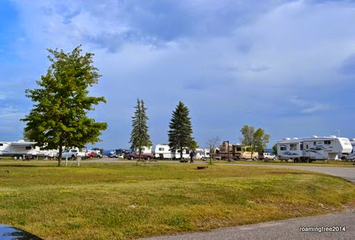
All of the sites in this campground are W & E only, and only a few are 50 amp.  They are nicely spaced, though, so it doesn’t feel too cramped.

Aune Osborn Campground

There’s also a private campground on the river, just upriver from this one . . . they have a similar great location, but the sites are a LOT smaller and crammed together.  We think we made a good choice.

After getting settled, we went into town to do some shopping and put fuel in the car & truck, then we arranged to meet our friends, Dave & Lynn, downtown for dinner at Frank’s Place.  They had a buffet with whitefish, broasted chicken, and roast beef that came with soup & salad bar, for just $12.99.  Tom, Nick, Dave & Lynn all had the buffet, while Bryce and I just had broasted chicken dinners, which also came with the soup & salad bar.  All of it was very good, and we left there stuffed!

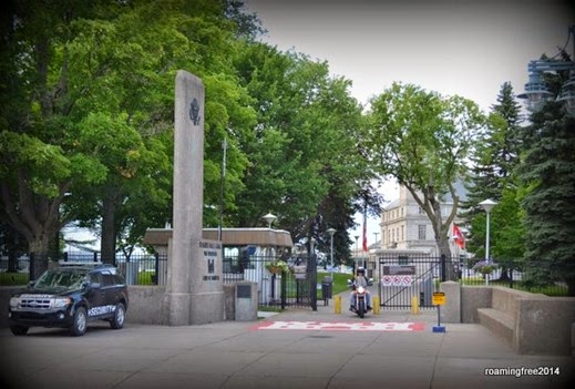
It was a beautiful evening, so after dinner we walked around downtown, bought some fudge and other treats at one of the shops, and visited the locks.        Quite a sight in Sault Ste. Marie!


We visited the Soo Locks when the kids were really small, and I don’t remember them being behind a fence like they are now.

Soo Locks

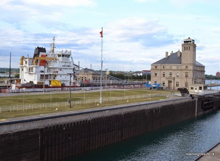
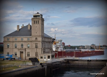
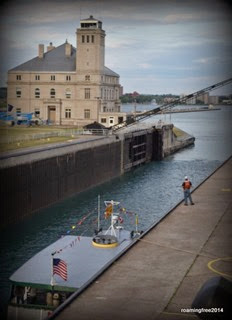
We walked out to the observation deck, and got there just in time to see a large freighter going through the lock.

Watching a big ship go through the locks


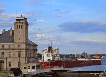
Exiting the lock


Moving up the river

It was really amazing to watch!  We stayed a little while longer to enjoy the beauty of the setting sun.

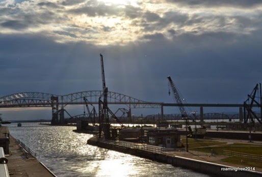
Bridge to Canada

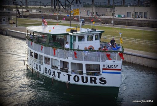
We noticed that the lock closest to us was filling with water, so we knew something else would be coming through son.  It turned out to be one of the Soo Locks Tour Boats.

Soo Locks Boat Tour

The water was at it’s highest level when the gate opened and the boat entered the lock.  Once the gate closed again, and the boat was tied to the side of the canal,          In the lock
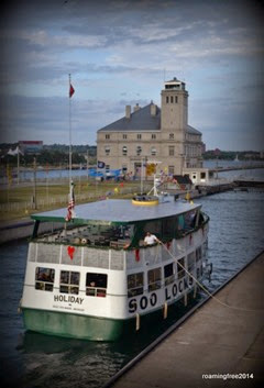
the water started draining out of the canal, and the boat disappeared from our view.

Water level down and the gate opens

After leaving the observation deck, we walked through the Visitor Center and looked at the displays on the history, construction and operation of the Locks.  There was lots of interesting information in the Visitor Center, including information of the design of a new lock that is going to be built sometime in the future.  You can also check the status of all the ships in the Great Lakes, and get estimates on when they would be arriving at the Locks.

After we had looked at everything, we walked back to the cars and went back to Dave & Lynn’s RV, where they had invited us for a campfire.

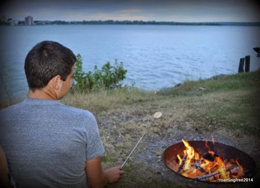
Roasting 'mallows by the river

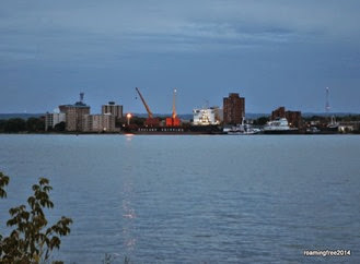
We roasted marshmallows and watched the ships on the river, until it started to drizzle.     freighter at night
Dave & Lynn had an early morning planned for Saturday, as they joined their son and his family to travel into Canada for a week, so we wished them well on their travels and said our good-byes one more time.


On Saturday, we had rain, rain and more rain . . . so I did some laundry and the kids watched movies.  Later after dinner, the rain stopped and the sun even came out!  Everybody came out of their RVs to enjoy the nice evening, and watch a few ships come down the river.

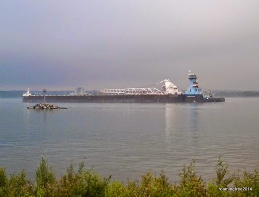
First was a huge barge going upriver, being pushed by a Tug,

Huge Barge being pushed by a Tug

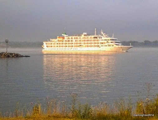
then there was a cruise ship out of Chicago.

Cruise ship glowing in the sun

It passed by just as the sun broke through the clouds . . . beautiful!

On Sunday, we had a window of no rain in the morning, so we got up early and got moving, even though we had a short drive – not even 100 miles! 

It was time to cross over the “Mighty Mac” into the lower peninsula, and both of the both were determined that they were going to do the driving – Nick in the RV, and Bryce in the car.

We stopped at the bridge overlook as we approached,

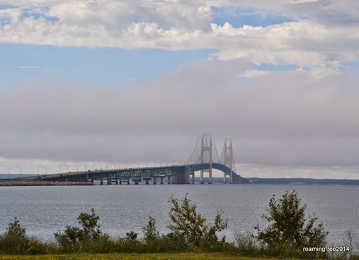
Mackinac Bridge

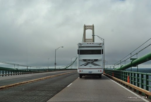
and then we went through the toll booth and onto the 5-mile long expanse, with Nicolas in the lead.

Crossing the bridge

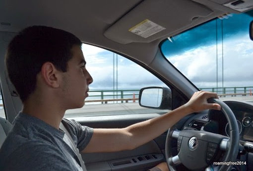
Luckily, it was a calm day, with no wind and no rain . . . so it was an easy drive!  Bryce was totally calm . . . no concern at all!

Bryce - cool as a cucumber driving over the bridge!

It was a good day for a drive!
Monday, July 28, 2014

Tahquamenon Falls

From Grand Marais, we could go back out to M-28 and take the long way to Tahquamenon Falls, or we could take a shortcut on a couple of back country roads.

We opted for the adventure of the back country roads!

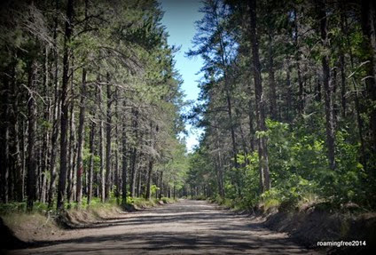
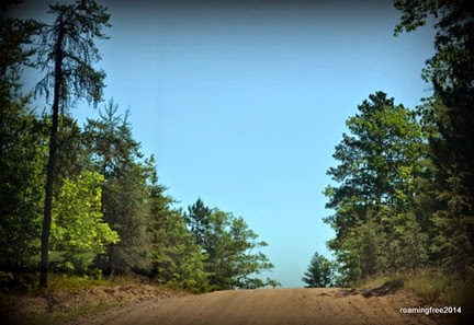
Driving the backroads

Sandy roads


Some of us enjoyed the drive and the beauty of the scenery, but others just complained about the long drive on a dusty road!! Smile  We only made one wrong turn, resulting in 3 miles of back-tracking . . . you would have thought we went a hundred miles out of our way!

It was a cooler day, but with sunny blue skies, it was a perfect day for exploring the falls.

We finally arrived at Tahquamenon Falls State Park, the Upper Falls,

upper falls 1960

(my Grandma’s picture, from 1960)

and found a table in the sun for our lunch.

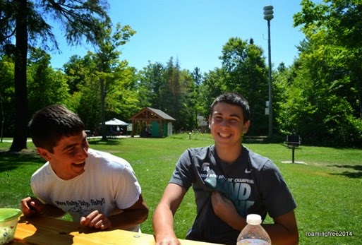
Beautiful day for a picnic lunch

Upper Falls Trail


After lunch, we followed the paved trail along the Tahquamenon River to the Upper Falls  overlooks.

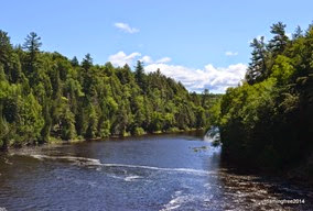
Tahquamenon River

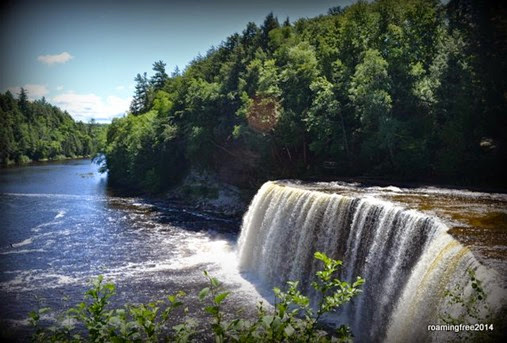
We followed the trail to “The Brink”, and soon the magnificent Upper Falls came into view.

Upper Falls

Thanks to all the snow that Michigan had this past winter, the falls were flowing really well.  It was a similar situation when my Grandma was here in 1960,

upper falls 1960_2

upper falls_2007


but quite a bit different when my brother, Don, was here in 2007 – a lot less water!


Nick & Bryce at the Upper Falls

Enjoying a beautiful Day


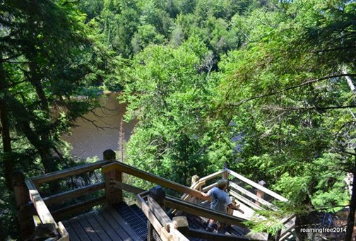
From there, we followed the trail along the river again, down 116 stairs (it seemed like a lot more than that!),

Climbing down to the Gorge Overlook

to the Gorge Overlook, which provides a river-level view of the Upper Falls.

Upper Falls

There is a trail that follows the river from the Upper Falls to the Lower Falls, and there is even a shuttle service that will take hikers back to their cars (for $19/person), but we opted to just drive the 4 miles down to the lower falls.

Once again, a short hike too us to the overlooks of the falls.

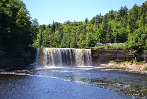
Lower Falls

Lower Falls


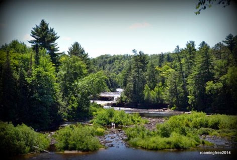
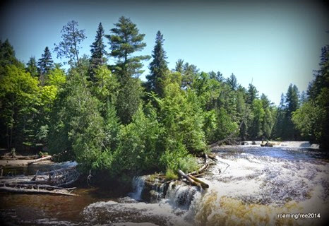
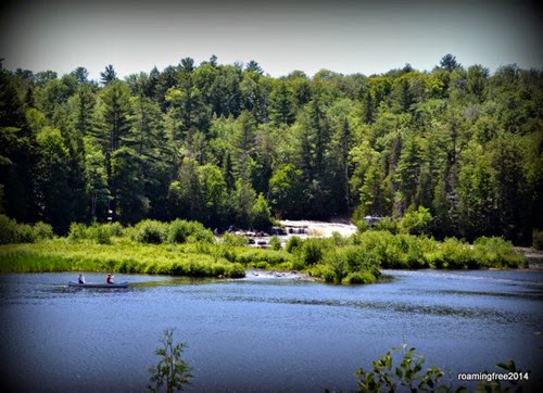
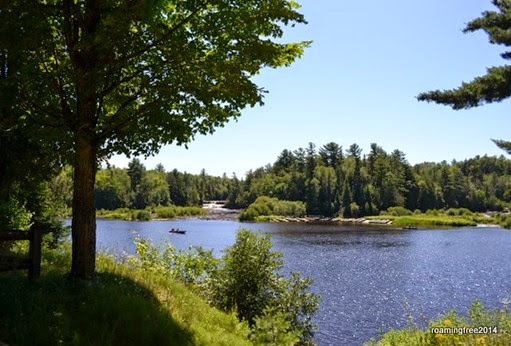
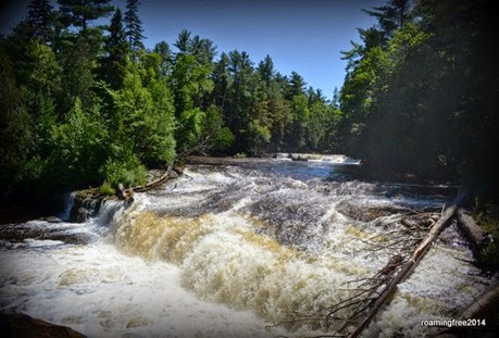
The Lower Falls are actually a series of 5 waterfalls that surround an island in the center of the river.  These falls are a lot smaller and calmer than the upper falls (at least on the left side of the river), and people can rent canoes and rowboats to take over to the island, and there were even people walking in the water around the falls.

Canoeing on the River

Peaceful island in the middle of the falls

To the left of the island, it looks pretty peaceful, but on the right side, the rapids were still flowing pretty well!

Lower Falls


By the time we left Tahquamenon Falls, we were pretty close to the little town of Paradise, and Whitefish Point, so we decided to continue on along M-123. 

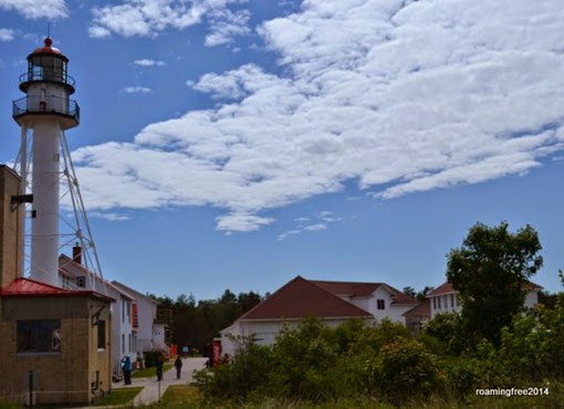
We reached Whitefish Point, and got out to look around.

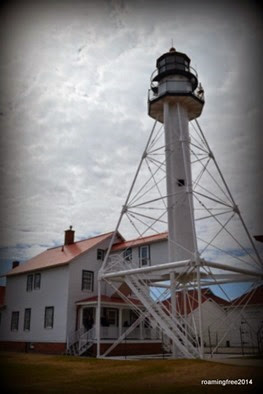
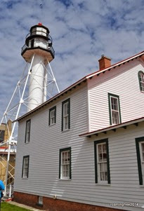
Whitefish Point Lighthouse


Whitefish Point is the northeastern point of the UP, and it’s where Lake Superior meets the St. Mary River.  The water there is often very rough, and it has been the site of many shipwrecks.

DSC_0629

The historic buildings are all part of the Shipwreck Museum, so admission is charged to enter them.  One ticket gets you into everything, and the prices is actually not too bad, but my non-history buffs were not interested, so we just walked around the grounds for a few minutes.

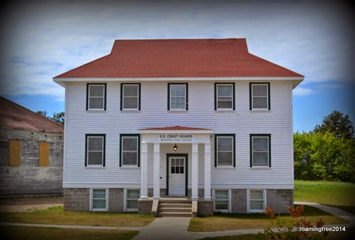
Coast Guard -- Whitefish Point

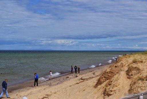
It wasn’t warm enough to be in the water, but there were a few people on the beach.

People looking for agates on the beach

It was a nice day, but we were ready to head back to the Campground for dinner . . . and we didn’t take the shortcut this time!
Whitefish Point

Sunday, July 27, 2014

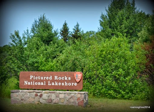
Pictured Rocks National Lakeshore

DSC_0670

Pictured Rocks National Lakeshore stretches along the shore of Lake Superior, from Munising to Grand Marais.  while we were still in Ishpeming, we took a drive to Munising to check out the sights at that end of the park.

We stopped at the Visitor Center in Munising to pick up a map, and then drove into the park. 

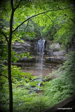
Munising Falls


Our first stop was Munising Falls.  This was just a small waterfall, really just a trickle.

It was a short walk through the woods to several overlooks of the falls.

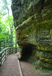
Cavern in the rock

After viewing the falls, we continued down the road to Sand Point,

Sand Point

DSC_0434


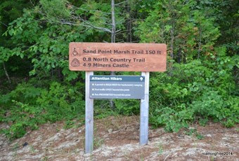
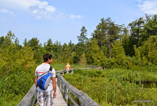
and the Sand Point Marsh Trail, a 1-mile boardwalk through a wetland habitat.


Walking through the marsh

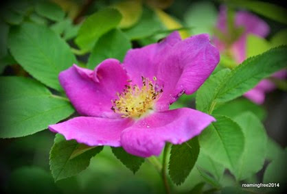
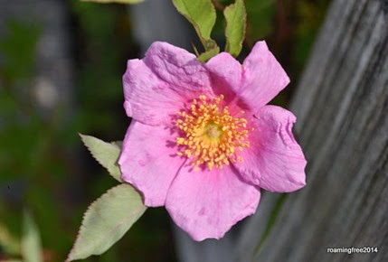
The marsh trail was a good spot for bird-watching, and there were also an abundance of wild roses.

Wild Roses

Wild Rose


We circled the marsh without stopping too often, because when we stopped the mosquitoes caught up with us . . . but otherwise they weren’t too bad.

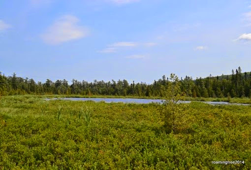
Sand Marsh

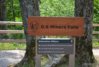
One of the more popular areas of the National Lakeshore is Miners Falls and Miners Castle, and that was our next stop.  We drove to the Miners Falls trailhead first.     DSC_0456


DSC_0459


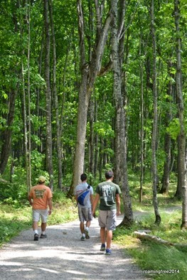
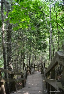
The trail to the falls was smooth and wide, and fairly easy, ending with a set of steps going down to an overlook.

DSC_0471

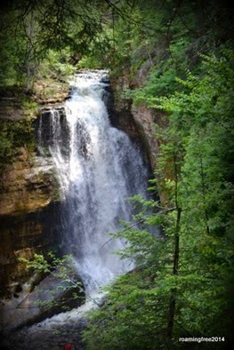
Miners Falls


These falls were much more impressive than Munising Falls!
As we walked along the trail, we saw lots of people in bathing suits, and we thought the trail might bring us out at the pool at the bottom of the falls, but it didn’t.  Plenty of people were making the climb down the muddy hillside to swim in the water, though . . . not us!


From the Falls, we continued the drive to the Miners Castle Overlook.

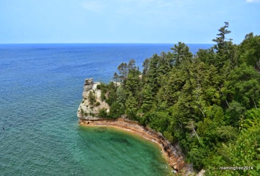
Miners Castle

Miners Castle is probably the most-photographed and well-known feature in Pictured Rocks, as it juts out into Lake Superior marking the western end of the National Lakeshore.

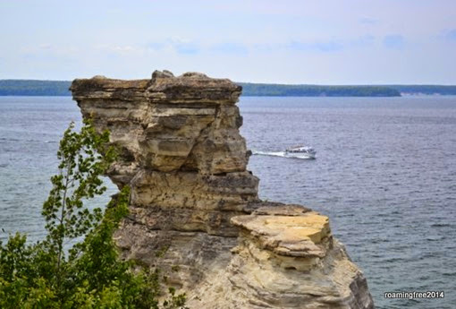
From the overlook, we continued along a trail that took us down for a closer look at the castle.

Miners Castle and a tour boat

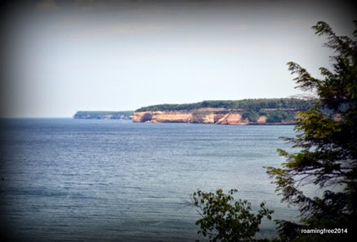
We could also see a stretch of the cliffs from this point.

Pictured Rocks

From Munising, there are boat tours available to take you along the cliffs, where the beauty of the rocks are visible from the lake.  We considered taking the tour, but Tom and I had been on it many years ago and the boys weren’t really interested . . . so we just went back to Ishpeming, stopping in Marquette to do a little shopping on the way.

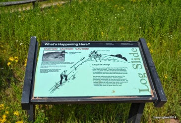
From Grand Marais, there are additional sights to see within the National Lakeshore.  Just past our campground was Big Sable Dunes.  At the western end of the dunes was the Log Slide, where loggers used to send logs down the sand dune to the lake, where they were picked up and loaded onto ships for transport.

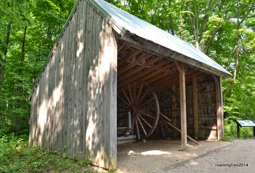
The trail to the Log Slide included some artifacts from the logging days,

Big Wheel

as well as some other interesting sights.

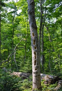
Not sure what's been eating at that tree


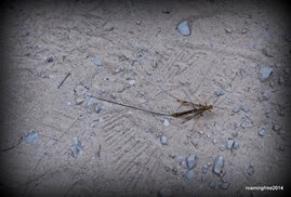
We weren’t sure what was making the holes in this tree, but maybe it was this strange-looking bug.

Strange bug

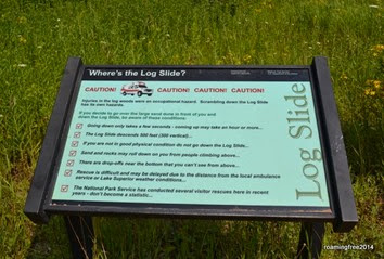
The trail leads to the top of the Log Slide, with plenty of warnings against attempting to climb down . . .

Danger!

DSC_0684


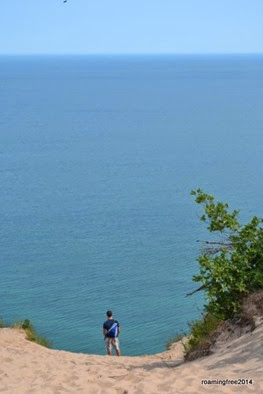
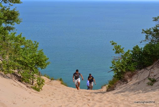
The boys are usually up to any challenge, and they have climbed the steep dunes at Sleeping Bear several times, but they said this one looked a lot taller and steeper, so they stayed safely on the top of the dune!

Thinking about it

Nope - not going to try it!

Watch out, Nick!


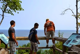
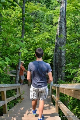
From the top of the Log Slide, we walked along the trail to the overlook where we could see the dunes.  Nicolas had to be particularly careful on this trail!

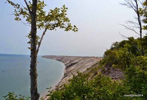
It was difficult to see the Log Slide from over there,

DSC_0691

but we had a pretty decent view of the dunes.

Log Slide Overlook

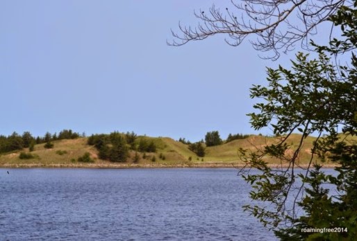
Our last stop in Pictured Rocks National Lakeshore was Sable Falls.  On the way, we drove past Grand Sable Lake,

Big Sable Lake

and then we arrived at the falls.  The trail was fairly short, but there were a LOT of steps going down to the bottom of the falls.

DSC_0705

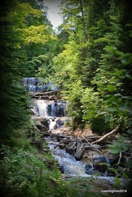
We made it to the bottom, and were rewarded with a nice view of another impressive waterfall!

Big Sable Falls


We thought we might take a loop hike out to the dunes, but the woods were pretty dense and we were being bombarded by mosquitoes, so we just turned back and returned to the campground.

DSC_0712

I think the boys are getting a little burned out on sight-seeing . . . they are ready to spend a little time just hanging out at the beach!  Hopefully the weather improves so we can do that!